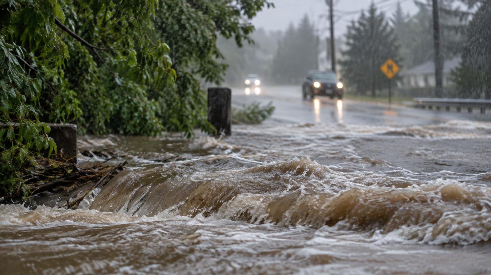
Hurricane Polo won't make landfall in Texas, but moisture from the Category 5 storm could fuel flash flooding across the Houston region by Tuesday, Sept. 29.
Polo, churning off Mexico's Pacific coast with 160 mph winds as of Saturday, Sept. 26, is forecast to slam into Baja California Sur on Monday before weakening inland. As the storm's remnants push north, a cold front arriving in Texas on Tuesday will pull deep tropical moisture from Polo into the state, according to FOX 26 Houston.
That combination has forecasters flagging flash flood potential across Texas.
"That is a big concern to us, especially by Tuesday and into Wednesday," Brian Hurley, a meteorologist with the National Weather Service's Weather Prediction Center (WPC), told USA TODAY on Friday, Sept. 25. Hurley said Polo would carry significant moisture even after weakening, as its remnants get absorbed into another weather system moving through the region.
Exactly where the heaviest rain will fall remains uncertain. The WPC said it is too early to pinpoint totals, but all of Texas, New Mexico, Oklahoma and Kansas are forecast to see rain from Tuesday, Sept. 29 through Wednesday, Sept. 30. AccuWeather said heavy rain could stretch from the Big Bend region northeast into central and eastern Oklahoma, with the Texas Hill Country and areas farther east also at risk.
No flash flood watch covers Montgomery County yet. But the area's recent history underscores why residents should pay attention.
In June, Tropical Storm Arthur dumped more than 5 inches of rain in three hours across parts of Montgomery and northern Harris counties, including The Woodlands, according to FOX Weather. Streets turned into rushing waterways and drainage networks were overwhelmed.
Earlier in September, the National Weather Service issued a flood watch for Montgomery County during the remnants of Tropical Storm Edouard, warning that saturated ground left no room for additional rainfall, the Montgomery County Police Reporter reported.
More than 80 percent of Texas is in some form of drought, with more than half the state in at least severe drought, according to the U.S. Drought Monitor.
The National Hurricane Center reported Saturday that Polo was about 380 miles south-southwest of Cabo San Lucas, moving west-northwest at 10 mph. The storm is expected to reach New Mexico and Texas as a post-tropical depression by around Wednesday, Sept. 30.
Polo is the first Eastern Pacific hurricane on record to reach Category 5 intensity three separate times, according to Yale Climate Connections.
Residents can monitor local advisories through the National Weather Service's Houston office as conditions develop.
